cs
Používáním těchto stránek souhlasíte s ukládáním souborů cookies na vašem zařízení.

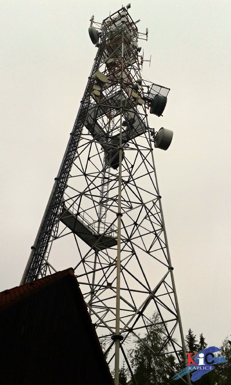
Poluška je jedním z vrcholů Šumavského podhůří a její nadmořská výška je 919 m. Na Polušce je umístěna základnová převodní stanice radiotelefonní sítě. Její stožár je vysoký 50 m, ale není veřejnosti přístupný.
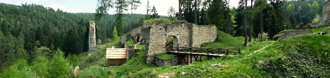
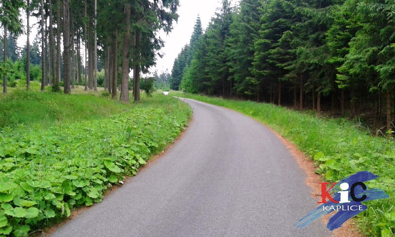
Na vrchol Polušky nevede žádná ze značených stezek, ale je ho možné dosáhnout po lesních cestách, při využití části cyklostezek i úseků značených turistických tras. Při výstupu na horu se vám nabídne několik průhledů lesem do údolí Kaplické brázky, jejíž osu tvoří řeka Malše a která odděluje Šumavu a Novohradské hory.
Pokud zvolíte za výchozí bod Kaplici, vydejte se směrem na Omleničku (cyklostezka 1188) a z Omleničky se vydejte severním směrem po červené a zároveň i modré turistické značce. Modrá značka lemuje zajímavou trasu nazvanou "Cesta odboje" a dovede vás do malebného kraje zaniklých vesniček Velký a Malý Chuchelec a samoty Lannovy domky (spojuje památníky obětem druhé světové války u Omlenice a u Výhně). Na Polušku je ale třeba po cca 1 km odbočit vzhůru svahem podél pastvin po červené značce. Průhledy a výhledy v těchto pasážích jsou zajímavé. Po červené lze pokračovat až téměř pod vrchol, stezka jej obchází po severním úbočí (ve zcela zaniklé úchvatně v přírodě umístěné podhorské vesničce Roiden - Rojov je dnes k vidění jen kamenný pomníček, kaplička, ukryté torzo domu a zvláštní zahrada... je k neuvěření, že roku 1920 zde stálo 20 domů! Dančí obora u Rojova potěší nejen dětské oko.) Z červené značky přestoupíte na cyklotrasu č. 1200, je to asfaltová silnice a vydáte se doleva, vzhůru až k poslední odbočce, opět vlevo a tady už cesta stoupá přímo na vrchol. Sestup stejnou cestou, případně po lesních svážnicích (ale doporučujeme s mapou). Z Kaplice vrcholu dosáhnete zhruba za dvě a půl hodiny...
Kaplice - Poluška - cca 12 km (zpět podle zvolené trasy)


 Mobilní verze webu